
Local authority | Elevation 135 m | |
 | ||
Similar Mangere Mountain, Maungarei, Mount Richmond, Maungawhau, Mount Wellington | ||
Mt wellington domain auckland nz full hd
Mount Wellington is a suburb in East Auckland, New Zealand, located 10 kilometres southeast of the city centre. It is surrounded by the suburbs of Stonefields, Tamaki, Panmure, Penrose, and Ellerslie, and by the Tamaki River. The suburb is named after the volcanic peak of Maungarei / Mount Wellington. Sylvia Park is a large business park and shopping centre in the suburb.
Contents
- Mt wellington domain auckland nz full hd
- Map of Mount Wellington Auckland New Zealand
- MaungareiEdit
- EducationEdit
- References
Map of Mount Wellington, Auckland, New Zealand
MaungareiEdit
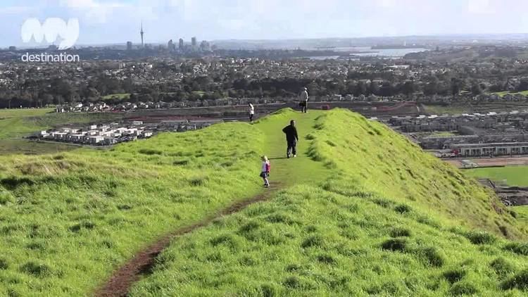
Maungarei / Mount Wellington is a 135-metre volcanic peak of the Auckland volcanic field. It is the youngest onshore volcano of the Auckland volcanic field, having been formed by an eruption around 10,000 years ago. It is the largest of Auckland's scoria cones. It is not expected to erupt again.
EducationEdit
References
Mount Wellington, New Zealand Wikipedia(Text) CC BY-SA