
Prominence 101 m | Elevation 1,235 m Listing Four-thousand footers | |
 | ||
Easiest route Hike Avalon Trail to A-Z Trail to Mt. Tom Spur Parent ranges White Mountains, Appalachian Mountains Similar Mount Field, Mount Willey, Mount Hale, Mount Waumbek, Mount Jackson | ||
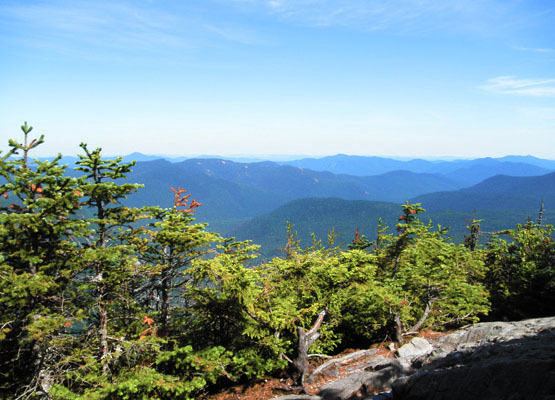
Mount Tom is a mountain located in Grafton County, New Hampshire, about 1.5 miles (2.4 km) southwest of the height of land of Crawford Notch. The mountain is named after Thomas Crawford, whose family ran three inns in Crawford Notch in the first half of the nineteenth century. Mount Tom is part of the Willey Range of the White Mountains. Tom is flanked to the south by Mount Field. Mt. Tom is drained on the east by Crawford Brook and on the west by the Zealand River. Both are tributaries of the Ammonoosuc River, which drains into the Connecticut and thence into Long Island Sound.
Map of Mt Tom, Bethlehem, NH 03583, USA
From 1829 until about 1850, Tom Crawford was the innkeeper at the Notch House, which was located at the top of the Notch. Around 1850, Tom Crawford started to build a larger hotel and ran into financial difficulty. Forced to sell out, he left the Notch at that time. The hotel he started became the Crawford House.
An alpine ski area associated with Tom Corcoran and the Crawford House was proposed for the northern slope of the mountain in the early 1970s.