
Country United States Time zone CST (UTC-6) Elevation 215 m Local time Monday 3:09 AM | Established November 8, 1853 ZIP codes 62353, 62378 Area 96.45 km² Population 4,673 (2010) | |
 | ||
Weather 9°C, Wind S at 21 km/h, 63% Humidity | ||
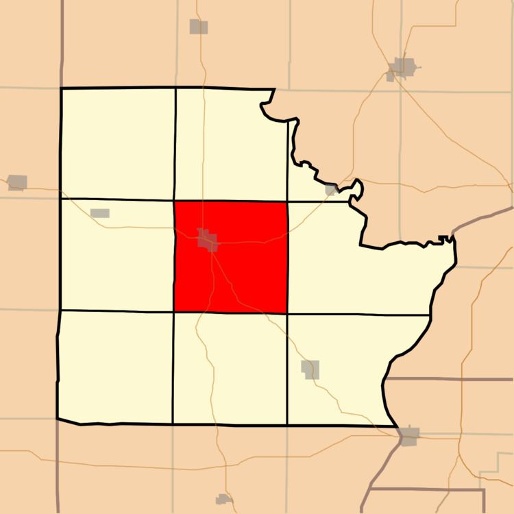
Mount Sterling Township is one of nine townships in Brown County, Illinois, USA. As of the 2010 census, its population was 4,673 and it contained 1,255 housing units.
Contents
- Map of Mt Sterling Township IL 62353 USA
- Geography
- Cities
- Unincorporated towns
- Cemeteries
- Major highways
- Landmarks
- School districts
- Political districts
- References
Map of Mt Sterling Township, IL 62353, USA
Geography
According to the 2010 census, the township has a total area of 37.24 square miles (96.5 km2), of which 37.19 square miles (96.3 km2) (or 99.87%) is land and 0.06 square miles (0.16 km2) (or 0.16%) is water.
Cities
Unincorporated towns
(This list is based on USGS data and may include former settlements.)
Cemeteries
The township contains these ten cemeteries: Greenwell, Harbour, Hersman, Icabod Perry, Keifer, Means, Mount Sterling Catholic, Mount Sterling City, Putnam and Wilson.
Major highways
Landmarks
School districts
Political districts
References
Mount Sterling Township, Brown County, Illinois Wikipedia(Text) CC BY-SA