
 | ||
Mount Sarnegor (Bulgarian: връх Сърнегор, ‘Vrah Sarnegor’ \'vr&h s&r-ne-'gor) is the mostly ice-covered mountain of elevation 1150 m in Solvay Mountains on Brabant Island in the Palmer Archipelago, Antarctica. It has steep and partly ice-free southwest and northwest slopes, and surmounts Zlatiya Glacier to the north, Rush Glacier to the south and Aluzore Gap to the east-northeast. A westerly offshoot of the feature forms Sidell Spur, extending to the seashore.
Contents
The mountain is named after the settlement of Sarnegor in Southern Bulgaria.
Location
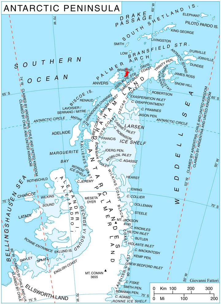
Mount Sarnegor is located at 64°21′34″S 62°31′27″W, which is 4.4 km southeast of Fleming Point, 2.77 km south of Veles Bastion, 6.32 km west of Mount Imhotep, 4.7 km north by east of Mount Aciar and 5.26 km east-northeast of Devene Point. British mapping in 1980 and 2008.