
Established 1850s Elevation 134 m Federal division Division of Grey | State electorate(s) Goyder Local time Monday 5:01 PM | |
 | ||
Weather 28°C, Wind SE at 24 km/h, 45% Humidity | ||
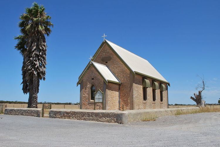
Mount Rat is a former subdivision in South Australia located in the locality of Wauraltee on the Yorke Peninsula. It is located near the junction of the Spencer Highway and Mount Rat Road about halfway between the centres of Maitland and Minlaton. It was first founded in the 1850s, and by 1882 had a school, hotel, blacksmiths, chapel and a large water tank. By 1905 the school had closed, and now the town has mostly disappeared. There are two water tanks and a telecommunications tower at Mt Rat
Map of Mount Rat, Wauraltee SA 5575, Australia
References
Mount Rat, South Australia Wikipedia(Text) CC BY-SA