
Listing Active volcanoUltra Elevation 2,815 m | Regions ARMMSOCCSKSARGEN Last eruption 1916 Prominence 1,590 m | |
 | ||
Provinces Lanao ProvinceLanao del Sur Similar Mount Makaturing, Latukan, Mount Kalatungan, Camiguin de Babuyanes, Didicas Volcano | ||
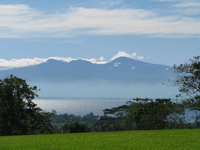
Mount Ragang, also called Mount Piapayungan and Blue Mountain by the local people, is a stratovolcano on Mindanao island in the Philippines. It is the seventh highest mountain in the Philippines.
Contents
- Map of Mount Ragang Lumba Bayabao Lanao del Sur Philippines
- LocationEdit
- Physical featuresEdit
- EruptionsEdit
- References
Map of Mount Ragang, Lumba - Bayabao, Lanao del Sur, Philippines
LocationEdit
Mount Ragang is located on south of Lanao del Sur in the Autonomous Region in Muslim Mindanao.
Physical featuresEdit
Ragang has an elevation of 2,815 metres (9,236 ft) and a base diameter of 32 km (20 mi).
It is the most active volcano on Mindanao, and is part of a string of volcanoes in what volcanologists call the Central Mindanao Arc. It is one of the active volcanoes in the Philippines, which are all part of the Pacific ring of fire.
EruptionsEdit
There is still some confusion on the number of times Ragang has erupted. The Philippine Institute of Volcanology and Seismology lists eight eruptions, with the last one occurring in July 1916. But the Smithsonian Institution's Global Volcanology Programs, citing the Catalog of Active Volcanoes of the World (Neumann van Padang, 1953), suggests that some eruptions attributed to nearby Makaturing were those of Ragang.