
Location North-east Italy Province Province of Vicenza Mountain range Alps, Vicentine Alps | Elevation 2,105 m Parent range Vicentine Alps | |
 | ||
Easiest route Through the Asiago Plateau Similar Cima della Caldiera, Cima Dodici, Cima Portule, Monte Zebio, Pasubio | ||
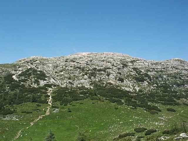
Mount ortigara
Mount Ortigara (2,105 m, 6,906 ft) is one of the peaks, about 2,000 m (6,000 feet) tall, which delimit to the north the Seven Municipalities Plateau (in Italian: Altipiano dei Sette Comuni), falling sheer on the underlying Sugana Valley with a jump of over 1,500 meters (4,500 feet). With the neighbouring mountains, it forms an imposing ridge easily accessible from the Asiago Plateau, but only reachable through steep paths from the Sugana Valley.
Contents
- Mount ortigara
- Map of Mount Ortigara 36012 Asiago Province of Vicenza Italy
- Escursione sul monte ortigara altopiano di asiago
- References
Map of Mount Ortigara, 36012 Asiago, Province of Vicenza, Italy
This mountain made history in World War I, when it was the theatre of fierce fightings between Italians and Austro-Hungarians, both of whom fell by the thousand trying to conquer its summit.
Escursione sul monte ortigara altopiano di asiago
References
Mount Ortigara Wikipedia(Text) CC BY-SA