
Elevation 1,037 ft (316 m) Phone +1 785-832-3450 | ||
 | ||
Address University Dr, Lawrence, KS 66044, USA Similar Strong Hall, The Oread, Memorial Stadium, University of Kansas Spooner, University of Kansas Natural H | ||
Explore ku the bells of mount oread
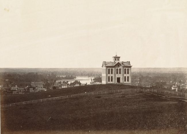
Mount Oread /ˈɔːri.æd/ is a hill in Lawrence, Kansas upon which the University of Kansas is located. It sits on the water divide between the Kansas and Wakarusa rivers. It was named after the Oread Institute in Worcester, Massachusetts. The hill was originally called Hogback Ridge by many Lawrence residents until the Oread name was adopted in 1866.
Contents
For emigrants going westward by wagon train on the Oregon Trail, "The Hill", as Mount Oread is now commonly referred to by residents of Lawrence, was the next big topographical challenge after crossing the Wakarusa River near today's Haskell Indian Nations University.
According to the United States Geological Survey, Mount Oread is located approximately 1,037 feet (316 m) above sea level. By way of comparison, downtown Lawrence is about 846 feet (258 m) above sea level. Mount Oread is perhaps best known for being the staging area of William Quantrill's raid into Lawrence on August 21, 1863, during the American Civil War. Presently, the campus of the University of Kansas (KU) rests on Mount Oread.
Mount Oread is the type locality for the Oread Limestone, and so, gives its name to the Oread Escarpment rising in this region of Kansas. Oread Limestone was quarried from the hilltop and used in the earliest of the campus buildings of KU.