
 | ||
People also search for Mount Anderson, Mount Farrell, Mount Tyree | ||
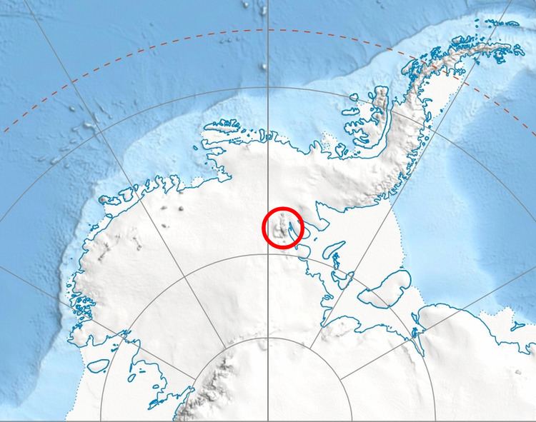
Mount Mohl (78°33′S 85°5′W) is a mountain, 3,710 metres (12,170 ft) high, at the east side of Vinson Massif, surmounting the ridge between the heads of Dater Glacier and Thomas Glacier, in the Sentinel Range of the Ellsworth Mountains, Antarctica. It is connected to Doyran Heights to the northeast by Goreme Col.
Contents
Map of Mount Mohl, Antarctica
The peak was first mapped by the United States Geological Survey from surveys and U.S. Navy air photos from 1957–59, and was named by the Advisory Committee on Antarctic Names for Commander Edgar A. Mohl, U.S. Navy, who was a hydrographic officer on the staff of the Commander, U.S. Navy Task Force 43, during Deep Freeze Operations I and II in 1955–56 and 1956–57.
Maps
References
Mount Mohl Wikipedia(Text) CC BY-SA