 | ||
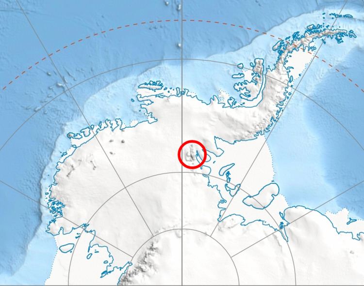
Thomas Glacier (78°40′S 84°0′W) is a roughly Z-shaped glacier which drains the southeast slopes of Vinson Massif and flows for 17 nautical miles (31 km) through the south part of the Sentinel Range, Ellsworth Mountains, leaving the range between Doyran and Petvar Heights south of Johnson Spur.
Contents
Map of Thomas Glacier, Antarctica
The glacier was discovered by U.S. Navy Squadron VX-6 on photographic flights of December 14–15, 1959, and mapped by United States Geological Survey (USGS) from the photos. It was named by Advisory Committee on Antarctic Names (US-ACAN) for R. Admiral Charles W. Thomas, USCG, veteran of Antarctic expeditions in the 1950s.
Tributaries glaciers
Maps
This article incorporates public domain material from the United States Geological Survey document "Thomas Glacier" (content from the Geographic Names Information System).
