
Prominence 2,354 m | Elevation 4,160 m | |
 | ||
Listing US most prominent peaks 104th First ascent 1996 by C Sassara, R Homberger, R Ruesh, P Claus, C Buhler | ||
Mount Miller is an isolated peak of the Saint Elias Mountains in Alaska, United States. It is notable for its position among spectacular icefields, its distance from any inhabited place, and its large rise above local terrain. It is over 65 miles (110 km) from McCarthy, the nearest habitation, and over 105 miles (170 km) away from Yakutat, the nearest significant town. Exemplifying the size of the mountain, the south flank rises 9000 feet (2743 m) above the Duktoth River valley to the south in approximately 9 horizontal miles (14.5 km).
Map of Mount Miller, Antarctica
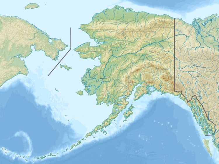
Mount Miller is the high point of the east-west trending Barkley Ridge, located on the south side of the Bagley Icefield, one of the largest icefields in North America. The Bering Glacier flows from the Bagley Icefield at the western end of the ridge, while the southeast slopes of the ridge head the Yahtse Glacier. The only side of the ridge that is not completely glaciated is the south side, where the Robinson Mountains lie between Barkley Ridge and the Gulf of Alaska.
Since Mount Miller is so isolated, and is not of extraordinary absolute elevation by Alaskan standards, it was not climbed until very recently. The first ascent of the peak was made in 1996 by Charlie Sassara, Ruedi Homberger, Reto Ruesh, Paul Claus, and Carlos Buhler, via the West Ridge.