Elevation 850 m | ||
 | ||
Mount Mecheva (Bulgarian: връх Мечева, ‘Vrah Mecheva’ \'vr&h 'me-che-va) is the broad ice-covered peak with precipitous rocky north, east and southwest slopes that peaks at 850 m in the Bigla Ridge on Foyn Coast, Antarctic Peninsula. It surmounts Beaglehole Glacier to the southwest, Sleipnir Glacier to the northwest and Cabinet Inlet to the northeast.
Contents
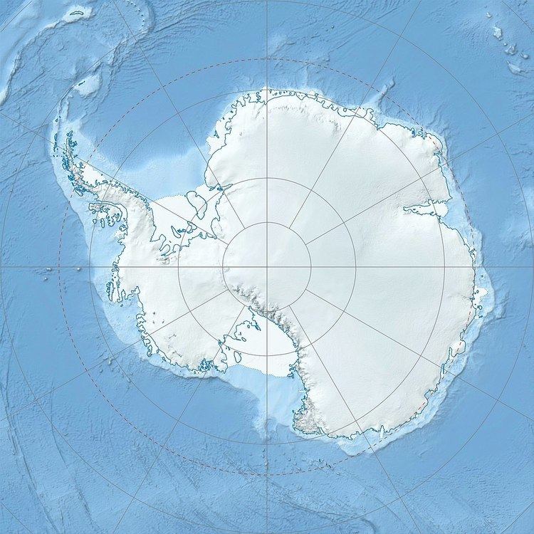
Map of Mount Mecheva, Antarctica
The feature is named after Rumyana Mecheva, biologist at St. Kliment Ohridski Base in 1999/2000 and subsequent seasons.
Location
Mount Mecheva is located in the Bigla Ridge, 13 km southwest of Balder Point, 13.7 km northwest of Spur Point, 14.9 km north of Varad Point and 6.87 km northeast of Chuypetlovo Knoll. British mapping in 1974 and 1976.
Maps
References
Mount Mecheva Wikipedia(Text) CC BY-SA
