
Elevation 2,310 m | Prominence 470 m | |
 | ||
Similar Mount Popomanaseu, Mount Veve, Tinakula, Kavachi | ||
Mount Makarakomburu is the second highest point in the Solomon Islands, located approximately 20 miles south of Honiara, the capital, on the island of Guadalcanal, which is the largest island in the country.
Contents
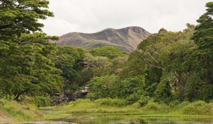
Map of Mount Makarakomburu, Solomon Islands
Elevation
SRTM, more accurate IFSAR data and topographic mapping all agree that the claim by many authorities that Makarakomburu is 2,447 metres (8,028 feet), and the highest point of the Solomon Islands, is incorrect. The highest point of the Solomon Islands is Mount Popomanaseu, 2332m.
References
Mount Makarakomburu Wikipedia(Text) CC BY-SA