
Elevation 2,467 m Mountain range Klamath Mountains | Prominence 1,467 m | |
 | ||
Location Yolla Bolly-Middle Eel Wilderness,
Tehama County,
California, U.S. Parent range Yolla Bolly Mountains,
Klamath Mountains System Topo map USGS South Yolla Bolla Mountains Similar North Yolla Bolly Mountain, Thompson Peak, Mount Pinchot, Anthony Peak, Mount Eddy | ||
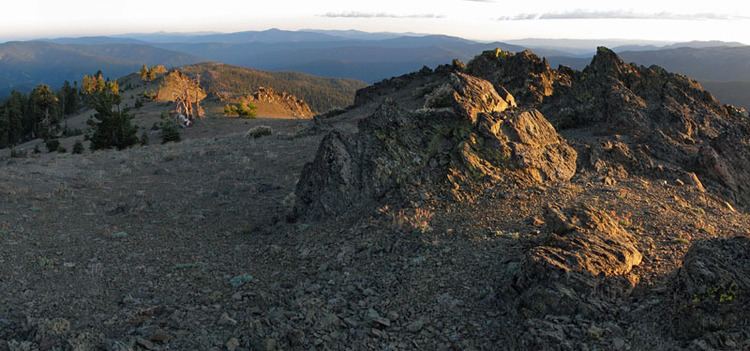
Mount Linn, at 8,098 feet (2,468 m), is the easternmost summit of South Yolla Bolly Mountain, and is located in the Yolla Bolly Mountains range of the southern Klamath Mountains System, in Tehama County, northwestern California.
Contents
Map of Mount Linn, California, USA
It is protected within the Yolla Bolly-Middle Eel Wilderness, in the Shasta-Trinity National Forest section.
GeographyEdit
The summit of Mount Linn is the highest point in the Northern California Coast Ranges that is south of the Trinity Alps range's high peaks, also in the Klamath Mountains System. The elevation of the mountain allows it to receive heavy winter snowfall and it has low average annual temperature near the summit.
A tarn named Square Lake is located in a cirque on Mount Linn's north slope. The cirques was carved by glaciers during the Ice Age.
The mountain was named by John C. Frémont in honor of Lewis F. Linn, a senator from Missouri, who played an important roll in the acquisition of the Oregon Territory.