
Population 255 (2011 census) Postal code 4515 | Postcode(s) 4515 Local time Monday 12:23 PM | |
 | ||
Weather 27°C, Wind NE at 18 km/h, 76% Humidity | ||
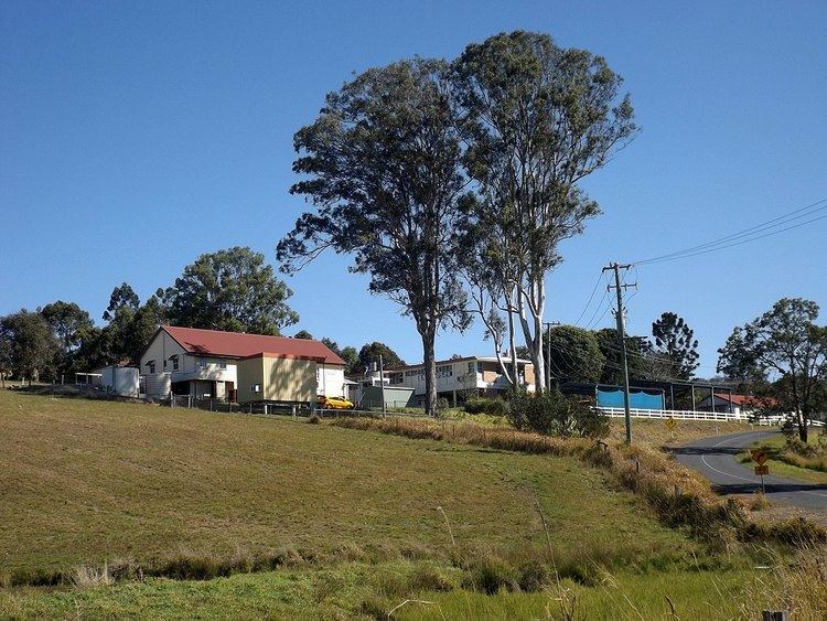
Mount Kilcoy is a locality in the Somerset Region, Queensland, Australia. At the 2011 Australian Census the locality recorded a population of 255.
Map of Mount Kilcoy QLD 4515, Australia
Mount Kilcoy occupies a valley drained by Kilcoy Creek at the southern end of the Conondale Range. Kilcoy Weir was built at Mount Kilcoy and is able to retain a maximum of 158 megalitres. The more flatter land along the creek is used for agriculture while the sloping terrain towards the north, east and western boundaries remains vegetated.
Mount Kilcoy State School opened in 1909 with a single teacher.
References
Mount Kilcoy, Queensland Wikipedia(Text) CC BY-SA