
Population 55 (2011 census) Postal code 4515 | Postcode(s) 4515 | |
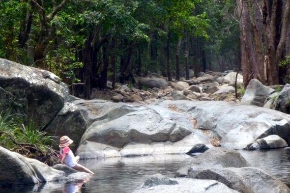 | ||
Sandy Creek is a locality in the Somerset Region, Queensland, Australia. The locality had a population of 555 at the 2011 Australian Census. Many parts of Sandy Creek are elevated along the southern Conondale Range and some of the range is protected within Bellthorpe National Park including Mount Mary Smokes.
Map of Sandy Creek QLD 4515, Australia
References
Sandy Creek, Queensland Wikipedia(Text) CC BY-SA