
Topo map USGS Yosemite Falls Prominence 698 m Parent range Sierra Nevada | Elevation 3,309 m Mountain range Sierra Nevada | |
 | ||
Listing Western States Climbers peak First ascent July 26, 1869 by John Muir Easiest route Simple scramble, class 2 Similar Clouds Rest, Mount Dana, Mount Conness, North Dome, Cathedral Peak | ||
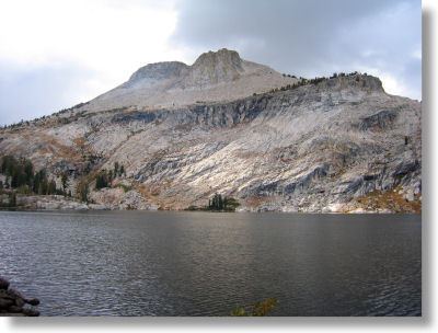
Mount Hoffmann is a prominent peak in northeastern Mariposa County in the center of Yosemite National Park, California, United States. It rises above May Lake and is a day hike of 6.2 miles (10.0 km) (one-way) from Tioga Pass Road. The mountain is named for the cartographer Charles F. Hoffmann, who was part of the California Geological Survey of the Sierra Nevada.
Contents
Map of Mount Hoffmann, California, USA
Mount hoffmann yosemite
References
Mount Hoffmann Wikipedia(Text) CC BY-SA