
 | ||
People also search for Mount Anderson, Mount Farrell, Mount Tyree | ||
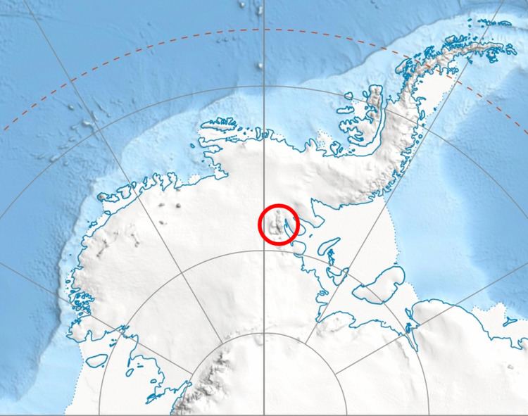
Mount Havener (78°27′S 84°37′W) is a mountain rising to 2,800 metres (9,200 ft) directly at the head of Guerrero Glacier, in the Doyran Heights of the Sentinel Range, in the Ellsworth Mountains of Antarctica. It was first mapped by the United States Geological Survey from surveys and U.S. Navy air photos, from 1957–59, and was named by the Advisory Committee on Antarctic Names for Melvin C. Havener, a mechanic at South Pole Station in 1957.
Contents
Map of Mount Havener, Antarctica
Maps
References
Mount Havener Wikipedia(Text) CC BY-SA