
 | ||
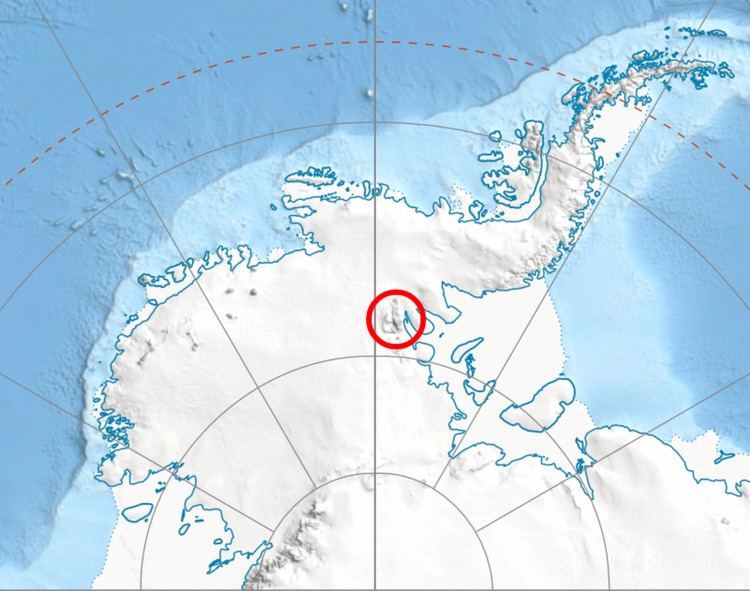
Guerrero Glacier (78°32′S 84°15′W) is a glacier about 7 nautical miles (13 km) long in Doyran Heights, draining from the southeast slopes of Mount Havener southwest of Beloslav Peak to the south side of Taylor Spur, in the southeast part of the Sentinel Range, Ellsworth Mountains, Antarctica. It was first mapped by the United States Geological Survey from surveys and U.S. Navy air photos, 1957–59, and was named by the Advisory Committee on Antarctic Names for John F. Guerrero, a meteorologist at South Pole Station in 1957.
Contents
Map of Guerrero Glacier, Antarctica
Maps
References
Guerrero Glacier Wikipedia(Text) CC BY-SA