
Elevation 1,236 m Listing Four-thousand footers | Prominence 187 m | |
 | ||
Similar Mount Zealand, Mount Tom, North Twin Mountain, Mount Field, Mount Willey | ||
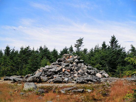
Mount Hale is a mountain located in Grafton County, New Hampshire. The mountain is named after Reverend Edward Everett Hale (1822–1909), and is part of the Twin Range of the White Mountains. The western and eastern sides of Mount Hale are drained by the Little River and Zealand River respectively, and thence into the Ammonoosuc River, Connecticut River, and into Long Island Sound in Connecticut.
Map of Mt Hale, Bethlehem, NH 03583, USA
A major hiking trail over its peak leads to the Zealand Falls Hut, which is 2.8 miles away.
References
Mount Hale (New Hampshire) Wikipedia(Text) CC BY-SA