
 | ||
People also search for Mount Anderson, Mount Farrell, Mount Tyree | ||
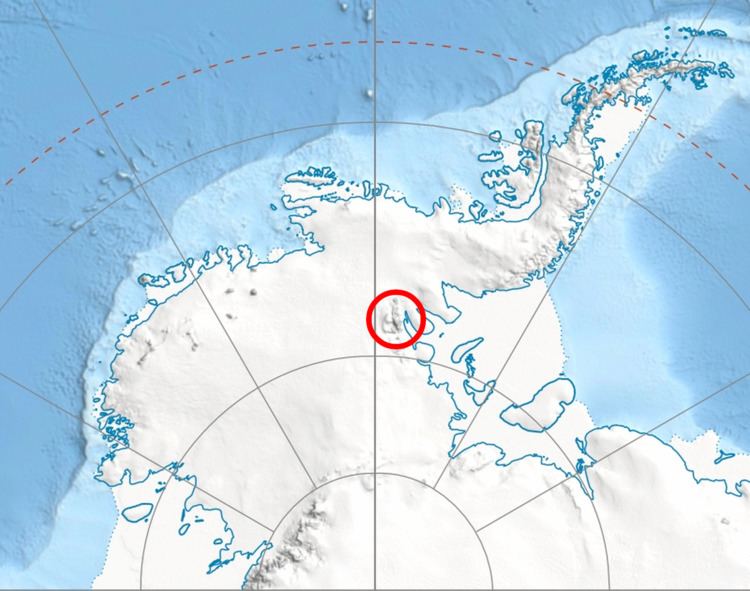
Mount Gozur (78°7′S 85°30′W) is a mountain, 2,980 metres (9,780 ft) high, in the Maglenik Heights of the central Sentinel Range, in the Ellsworth Mountains of Antarctica, situated just northwest of the head of Young Glacier and 9 nautical miles (17 km) east of Mount Bentley. It was first mapped by the United States Geological Survey from surveys and U.S. Navy air photos, from 1957–59, and was named by the Advisory Committee on Antarctic Names for Captain Alexander Gozur of the United States Air Force, who participated in establishing the South Pole Station in the 1956–57 season.
Contents
Map of Mount Gozur, Antarctica
Maps
References
Mount Gozur Wikipedia(Text) CC BY-SA