
 | ||
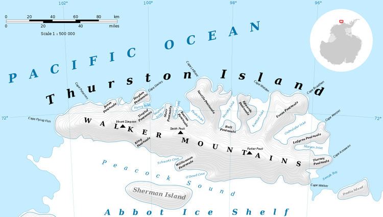
Mount Gimber (72°1′S 102°0′W) is an ice-covered mountain 0.5 nautical miles (0.9 km) southeast of Landfall Peak in the extreme west part of Thurston Island. It was named by the Advisory Committee on Antarctic Names (US-ACAN) after Commander H.M.S. Gimber, the captain of the destroyer Brownson in the Eastern Group of U.S. Navy Operation Highjump, 1946-47.
Contents
Map of Mount Gambier SA 5290, Australia
Maps
References
Mount Gimber Wikipedia(Text) CC BY-SA