
Elevation 1,525 m | Prominence 8 m | |
 | ||
Topo map USGS Stairs Mountain (NH) Mountain range White Mountains, Presidential Range Similar Mount Monroe, Mount Eisenhower, Mount Pierce, Mount Clay, Mount Jackson | ||
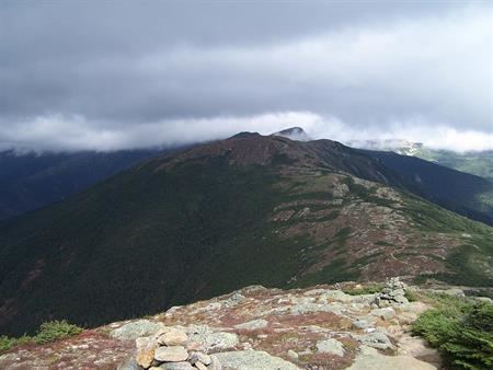
Mount Franklin is a mountain located in Coös County, New Hampshire. The mountain is named after Benjamin Franklin, and is part of the Presidential Range of the White Mountains. Note that Ben Franklin was not a president. Mount Franklin is flanked to the northeast by Mount Monroe, and to the southwest by Mount Eisenhower.
Map of Mt Franklin, Sargent's Purchase, NH 03846, USA
Mt. Franklin drains on the northwest side into the Ammonoosuc River, thence into the Connecticut River and into Long Island Sound in Connecticut. On the southeast side, Franklin drains into the Dry River, thence into the Saco River, and into the Gulf of Maine in Maine.
The Appalachian Trail, a 2,170-mile (3,500-km) National Scenic Trail from Georgia to Maine, crosses Mt. Franklin as it traverses the main ridge of the Presidentials from Crawford Notch to the summit of Mount Washington. Franklin stands on the northwest side of the Dry River Wilderness. Although well over 4,000 feet in height, the Appalachian Mountain Club doesn't consider Franklin a "four-thousand footer" because it stands no more than 65 feet above the col on the ridge from Mount Monroe, making it a secondary summit of that peak.