
Topo map USGS Mount Emmons Prominence 284 m | Elevation 4,097 m | |
 | ||
Parent ranges Uinta Mountains, Rocky Mountains Similar Gilbert Peak, Mount Lovenia, Kings Peak, Hayden Peak, Wilson Peak | ||
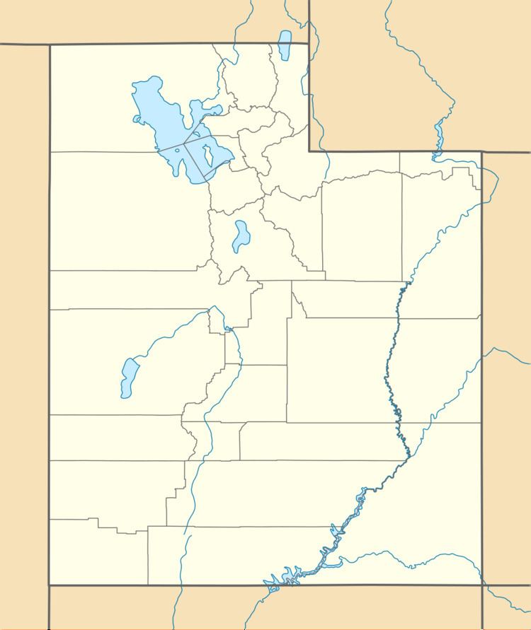
Mount Emmons (or Emmons Peak) is a summit in Duchesne County, Utah, United States. It is located within the Ashley National Forest and the High Uintas Wilderness. It is situated about 5.76 miles (9.27 km) southeast of Kings Peak and has an elevation of 13,448 feet (4,099 m).
Map of Mt Emmons, Utah, USA
It was named for geologist Samuel Franklin Emmons (as was another peak in Colorado).
Mount Emmons is also the name of a very small community 1 mile (1.6 km) southeast of the town of Altamont, Utah. and about 25 miles (40 km) south of Emmons Peak.
References
Mount Emmons (Utah) Wikipedia(Text) CC BY-SA