
Population 1,728 (2011 census) Federal division Division of Ryan | Postcode(s) 4306 Postal code 4306 | |
 | ||
Location 22 km (14 mi) SW of Brisbane CBD Similar Mount Nebo, Mount Glorious, Springbrook - Queensland, Mount Edwards, Mount French | ||
Mount Crosby is both a mountain and an outer western locality in the City of Brisbane, Australia located 22 kilometres (14 mi) south-west of the Brisbane CBD. In the 2011 census, Mount Crosby had a population of 1,728 people.
Contents
Map of Mount Crosby QLD 4306, Australia
Geography
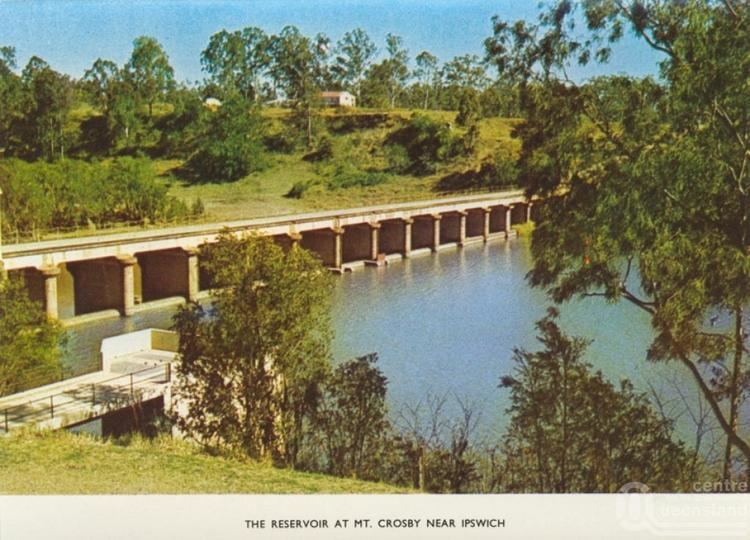
The locality of Mount Crosby is bounded in part by the Brisbane River, Mount Crosby Road, Lake Manchester Road and Swensons Road.
The Brisbane River, Mount Crosby and the adjoining State Forest are the dominant natural features of the area.
History
The Jagera Aboriginal people inhabited areas in Mount Crosby and they had ceremonial grounds on the slopes of Mount Elphinstone and at Bellbowrie, Queensland.
The first Europeans to enter the Mount Crosby region were John Oxley and Allan Cunningham.
The Crosby postal receiving office opened on 1 January 1882; it was renamed Mount Crosby receiving office in June 1917. It became a full post office in about 1924.
Mount Crosby Provisional School opened on 30 January 1882 with 22 pupils under teacher Arthur Leigh. It closed on 31 December 1892, but soon reopened on 11 September 1893 as Mount Crosby State School under head teacher Samuel Rea.
The Mount Crosby Pumping Station is a major landmark. A tramway was built from Tivoli to convey coal from the Ipswich Coalfield to the station. In the early 1940s about 40 acres (160,000 m2) of land was sold to Scouts Australia. This was developed as the Tyamolum Scout Camp Site.
Education
Mount Crosby State School is a government co-education primary (P-6) school located on the eastern side of Mount Crosby Road in neighbouring Karana Downs (27.550919°S 152.807199°E / -27.550919; 152.807199 (Mount Crosby State School)).
Amenities
Mount Crosby is serviced by a fortnightly visit of the Brisbane City Council's mobile library service outside the Mt Crosby State School on Mt Crosby Road.
Demographics
In the 2011 census the population of Mount Crosby was 1,728, 49.9% female and 50.1% male. The median age of the Mount Crosby population was 37 years of age. 74.2% of people living in Mount Crosby were born in Australia, compared to the national average of 69.8%; the next most common countries of birth were England 7.2%, South Africa 3.2%, New Zealand 2.9%, United States of America 0.9%, Germany 0.8%. 90.5% of people spoke only English at home; the next most common languages were 0.8% German, 0.6% Afrikaans, 0.5% Russian, 0.3% Persian (excluding Dari), 0.3% Mandarin.