
 | ||
Similar Russian Peak, Preston Peak, Granite Peak, Thompson Peak, Mount Eddy | ||
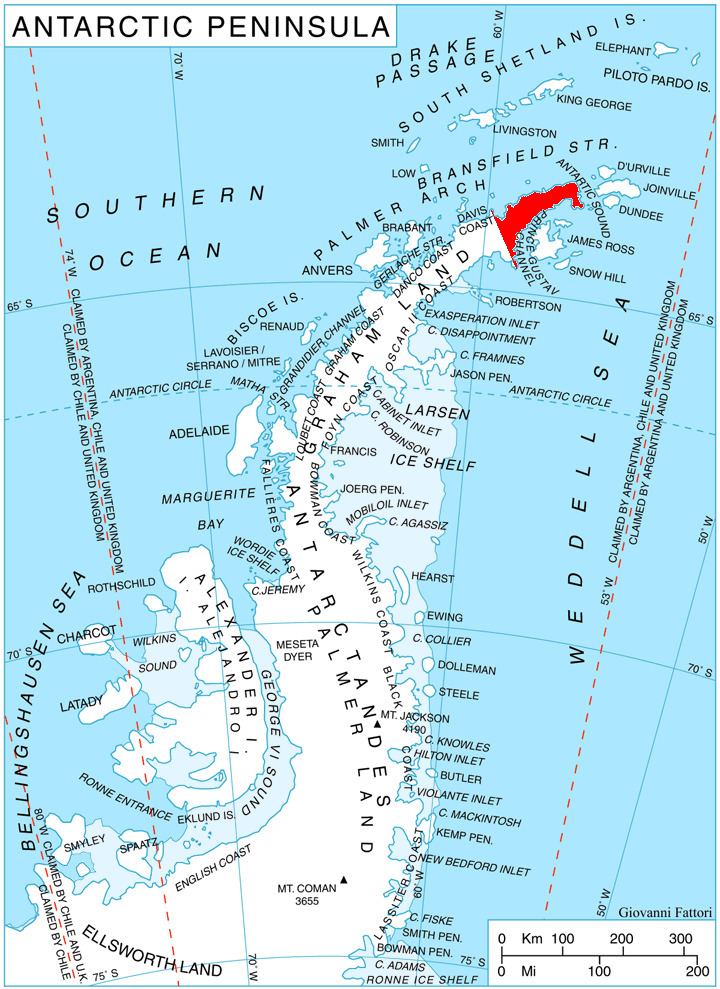
Mount Bradley (63°53′S 58°37′W) is a pyramidal peak, 835 metres (2,740 ft) high, at the southeast end of a ridge descending from Detroit Plateau, surmounting Znepole Ice Piedmont to the east and Dreatin Glacier to the southwest. The peak is 4 nautical miles (7 km) southwest of Mount Reece in the southern Trinity Peninsula. It was charted in 1945 by the Falkland Islands Dependencies Survey, who named it for K.G. Bradley, Colonial Secretary in the Falkland Islands at the time.
Contents
Map of Mt Bradley, California 96025, USA
Map
References
Mount Bradley Wikipedia(Text) CC BY-SA