
Parent range Sierra Nevada Elevation 3,586 m Mountain range Sierra Nevada | Topo map USGS Mount Lyell Prominence 48 m | |
 | ||
First ascent July 11, 1934 by Glen Dawson, Jack Riegelhuth and Neil Ruge Easiest route Exposed scramble, class 3 Similar Mount Maclure, Kuna Peak, Mount Gibbs, Mount Lyell, North Peak | ||
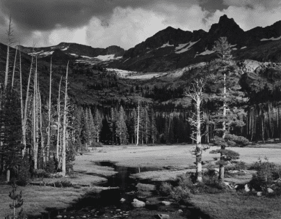
Mount Ansel Adams is a peak in the Sierra Nevada of California. The summit is in Yosemite National Park near the park's eastern boundary. It lies 0.8 miles (1.3 km) northeast of Foerster Peak and 1.3 miles (2.1 km) west-southwest of Electra Peak at the head of the Lyell Fork of the Merced River. It was named in 1985 for Ansel Adams, the preeminent landscape photographer, conservationist, and member of the Board of Directors of the Sierra Club, a role he maintained for 37 years.
Map of Mt Ansel Adams, California, USA
References
Mount Ansel Adams Wikipedia(Text) CC BY-SA