
Time zone SAST (UTC+2) Area 13,950 km² Population 837,379 (2007) | District code DC17 White population 12.8% Province Free State | |
 | ||
Local municipalities ListMangaungMantsopaNaledi Clubs and Teams Free State Cheetahs, Cheetahs Colleges and Universities University of the Free State, Central University of Techno, Qualitas Career Academy, Vista University Points of interest Free State National Botanical, National Museum - Bloemfontein, Anglo Boer War Museum, Oliewenhuis Art Museum, National Women's Monument | ||
Motheo (Sesotho, meaning "foundation" or "cornerstone") was, until the municipal elections of 18 May 2011, a district of the Free State province of South Africa. At the time of the 2011 elections it was disestablished as a consequence of Mangaung Local Municipality being upgraded to a metropolitan municipality
Contents
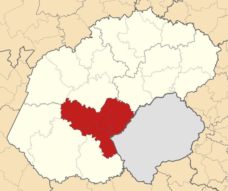
- Map of Motheo South Africa
- Disestablishment
- Neighbours
- Local municipalities
- Settlements
- Demographics
- Gender
- Age
- References
Map of Motheo, South Africa
The Motheo District Municipality Head Office was based in Bloemfontein, which also serves as the capital of the Free State Province and as the judicial capital of South Africa.
Disestablishment
The Motheo District was disestablished on 18 May 2011. When this happened, of its three constituent local municipalities, Mangaung was upgraded to become an autonomous metropolitan municipality, Naledi became part of Xhariep, and Mantsopa became part of Thabo Mofutsanyane.
Neighbours
Motheo was surrounded by:
Local municipalities
The district was divided into three local municipalities: Mangaung, Mantsopa, and Naledi.
Of these, Mangaung Local Municipality — now Mangaung Metropolitan Municipality — is the most densely populated; it features the greatest concentration of well-developed infrastructure and services in the Bloemfontein area, which offers a wide range of amenities to the surrounding rural communities. As of 2007, Mangaung Municipality had a population of 752,906 (roughly 90% of Motheo's total population).
Mantsopa Local Municipality, located to the east of Mangaung, is a mixed agricultural area, with a population of 59,028 (7% of the total).
Naledi Local Municipality, located to the southeast of Mangaung, is largely characterized by livestock-oriented farming, and has a population of 25,445 (3% of the total).
Settlements
In Mangaung Local Municipality:
In Mantsopa Local Municipality:
In Naledi Local Municipality:
Demographics
The Black African population group constituted 82.4% of the district's population. Sesotho was the native language of over 50% of the district's residents.
Gender
As of 2007, 52.3% of the population were female, and 47.7% were male.
Age
As of 2007, 27.6% of the population were between the age of 0 and 14; 29.6% were between 15 and 29 years old; 21.4% were between 30 and 44 years old; 13.5% were between 45 and 59 years old; 5.9% were between 60 and 74 years old; and 2.0% were 75 or older.