
Country United States Time zone Central (CST) (UTC-6) Zip code 71356 Local time Sunday 1:01 AM | ZIP codes 71356 Population 648 (2000) Area code 318 | |
 | ||
Weather 18°C, Wind W at 3 km/h, 92% Humidity Parish | ||
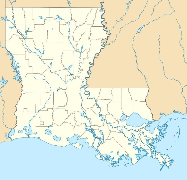
Morrow is an unincorporated community and USGS populated place in St. Landry Parish, Louisiana, United States, located just east of U.S. Route 71 and the railroad tracks.
Map of Morrow, LA 71356, USA
A post office has existed in this community since 1883.
Public school students in Morrow attended Morrow Elementary School (under the supervision of the St. Landry Parish School Board) until the school was closed due to dwindling school population and a federal desegregation order in 2009.
Morrow is served by St. Landry Parish Fire Protection District #7.
References
Morrow, Louisiana Wikipedia(Text) CC BY-SA