
Postcode(s) 3496 Postal code 3496 | ||
 | ||
Location 560 km (348 mi) from Melbourne113 km (70 mi) from Mildura31 km (19 mi) from Yamba9 km (6 mi) from Karween | ||
Brown snake near morkalla victoria
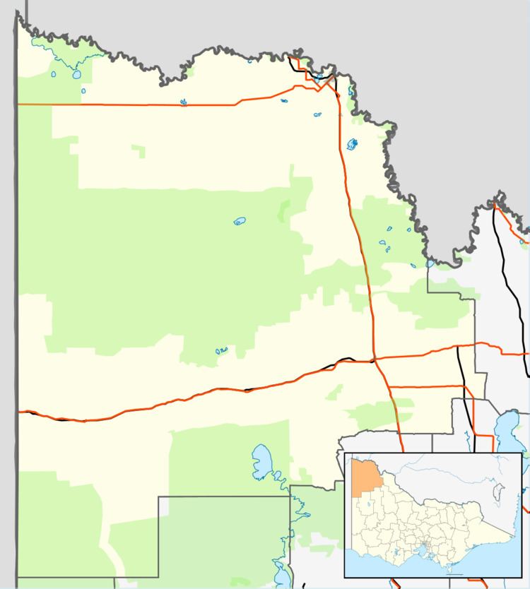
Morkalla is a locality situated at the farthest west point on the Redcliffs-Meringur Road in the Sunraysia region. It is situated about 31 kilometres south east from Yamba in South Australia and 9 kilometres west from Karween. It also lies 11 kilometres due south of the Sturt Highway.
Contents
Map of Morkalla, VIC 3496, Australia
The area was settled by returned servicemen after World War I. The railway was extended to Morkalla in 1931. The passenger facilities were removed in 1939, and the line closed in 1964 after only being used to transport wheat for many years.
References
Morkalla, Victoria Wikipedia(Text) CC BY-SA