
Area 10,985 km² | Elevation 228 m Local time Sunday 8:38 AM | |
 | ||
Country People's Republic of China Weather -1°C, Wind NW at 14 km/h, 37% Humidity | ||
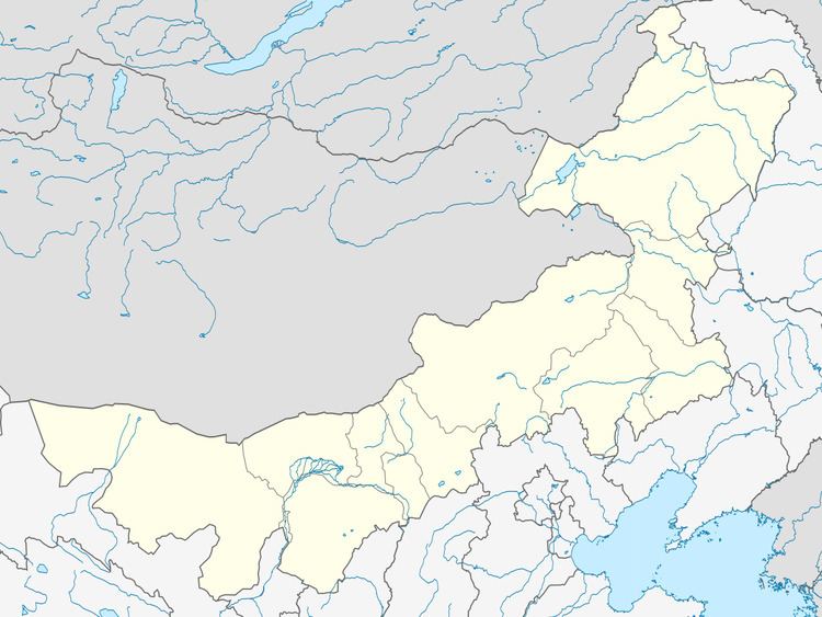
Morin Dawa Daur Autonomous Banner (Mongolian: ᠮᠣᠷᠢᠨ ᠳᠠᠪᠠᠭᠠ ᠳᠠᠭᠤᠷ ᠥᠪᠡᠷᠲᠡᠭᠡᠨ ᠵᠠᠰᠠᠬᠤ ᠬᠣᠰᠢᠭᠤ Морин Даба-а Даур өбэртэгэн жасақу қосиу Morin Dabaɣ-a Daɣur öbertegen jasaqu qosiɣu; Daur: Morin Dawaa Daor weerie ixkiewu guasei; simplified Chinese: 莫力达瓦达斡尔族自治旗; traditional Chinese: 莫力達瓦達斡爾族自治旗; pinyin: Mòlì Dáwǎ Dáwò'ěrzú Zìzhìqí) is one of three autonomous banners in Inner Mongolia, People's Republic of China, created for the Daur people. It lies on the Nen River, borders Heilongjiang province to the east, south, and southwest, and is under the administration of Hulunbuir City.
Map of Morin Dawa, Hulun Buir, Inner Mongolia, China
References
Morin Dawa Daur Autonomous Banner Wikipedia(Text) CC BY-SA