Tripti Joshi (Editor)

Morbi

Updated on
Edit
Like
Comment
Share on FacebookTweet on TwitterShare on LinkedInShare on Reddit
Country
  
State
  
Area
  
46.58 km²

Population
  
145,719 (2001)

District
  
Morbi

Area code
  
363641

The kathiawar in india map, it has a white grid lines, a blue color that represent the sea Arabian sea, Gulf of Kuchchh, Gulf of Khambhat, gray for PAKISTAN, brown for Rajasthan, Madhya Pradesh, maharashtra and Dadra Nagar haveli, in a cream color  indicates salt marsh lands Rann of Kuchchh, Little RannOf Kuchchh, and a red dot that indicates each District, Kuchchh, Patan, Banaskantha, Mehsana, Ahrnedabad, Sabarkantha, Kheda, Panchrnahal, Dahod, Anand, Vadodara, Bharuch, Narmada, Surat, Navsari, Dangs, Valsad, a red star indicates Gandhi Nagar, yellow land with red dot indicate, Porbandar, an orange land with red dot is Jamnagar, an dark brown with red dot is Junaghad, an olive green with red dot is Rajkot, a dark olive-brown with red dotm is Amreli, the olive land with red dot is Bhavnagar, and Surendranagar in yellow-olive land with red dot. At the bottom is a word written State of Gujarat, India with a black triangular arrow with N written inside.

Languages spoken
  
Gujarati, Hindi

University
  
Lukhdhirji Engineering College


Government Type
  
Morbi Municipality

Time zone
  
UTC+5:30 (IST)

PIN
  
363641/42

Vehicle registration
  
GJ-36

Similar
  
Wankaner, Rajkot district, Mahisagar district
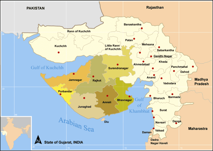
Map of Morbi

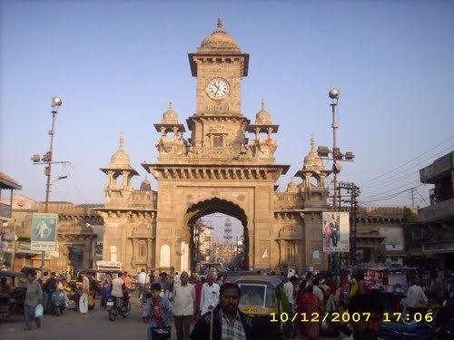
Morbi or Morvi is a city and a municipality in Morbi district in the Indian state of Gujarat. It was a Princely State ruled by the Jadeja clan of Rajputs until Indian independence in 1947. It is situated on the Kathiawar peninsula. In 2011, the city's population was determined to be 194,947. The town of Morbi is situated on the river Machhu, 35 km from the sea and 60 km from Rajkot.

Contents

The Nehru gate clock tower at Morbi Gujarat India Asia has large tall concrete walls with unique patterns, at the top is a large clock with a round and pointy roof. Has a crowd of people in front of the gate with large tall speakers and street lights, along with the transportation vehicles on the road at the right bottom is the date 10/12/2007.

The city-state of Morbi and much of the building heritage and town planning is attributed to the administration of Sir Lakhdhiraji Waghji, who ruled from 1922 to 1948.

The mani mandir palace morbi gujarat india


History

During the British Raj era, Morvi State was one of several princely states governed by the Jadeja dynasty of Rajputs. It was classified as an 11-gun salute state.

Industry

70% of India's, and 5% of the World's, output of ceramic items are produced in Morbi. around 80% of the country's Compact Fluorescent Lamp (CFL) production and is the largest producer of wall clocks in India. There are around 600 ceramic factories with production worth Rs. 40 billion annually.

Points of interest

Most are in the old city

  • Julto Pul - the old hanging bridge across River Machhu.
  • It is 1.25 m wide and spans 233 m on the Machchhu River connecting Darbargadh Palace and Lakhdhirji Engineering College.

  • Darbargadh - the original residence of the royalty, the Darbargarh overlooking the river can be approached through an imposing gate with a magnificently carved façade. This structure has now been converted into a heritage hotel.
  • Nazarbagh palace - or the New Palace located across suspension bridge on the eastern side of the river. The premises now houses the engineering college of Lakhdhirji.
  • The Art Deco Palace (1931-1944)- is a marvelous example of the influence of the last phase of the European art deco movement. It is a low, two-storey structure with banded horizontal fenestration, curves and bays, which resembles the London underground stations of Charles Holden
  • Mani Mandir and Wellington Secretariat [Wagh mahel] – Wagh mahel is artistic built in Rajput architecture which was damaged partly in 2001 earthquake. Sprawling Mani mandir, a multi-religious shrine located in the same premises was built by Shri Waghji Thakur. There is a nice garden easterly facing the river.
  • Green chowk with green tower, which reminds tower of Eiffle in Paris is a gentle reminder of European influence on the royalty in town development
  • Nehru Gate (Llyod gate) and other two gates served as the entry points to old city remain as good landmarks
  • Trimandir - of Morbi region is located about 8km northwesterly to the town.
  • Kabir Dham or kabir vadi, Vavadi [Nani Vavdi] - is some 5 km far, westerly to the city
  • Rafaleshwar Mahadev Temple, Rafaleshwar - an ancient temple is located 12km southeasterly
  • Maa Khodiyar mandir, Matel - is located about 25km far southeasterly
  • Tankara - a holy land, the birthplace of Swami Dayanada Saraswati, a Hindu reformist and the founder of Arya Samaj - is located 20km far southwesterly to Morbi town

  • Fast food & gujarati thali | at morbi gujarat | by street food & travel tv india


    References

    Morbi Wikipedia