
Country United States of America | Bridges Glen Falls Bridge | |
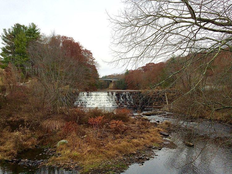 | ||
Moosup river connecticut
The Moosup River is a river in the U.S. states of Rhode Island and Connecticut. It flows approximately 23.7 miles (38.1 km).
Contents
- Moosup river connecticut
- Map of Moosup River Foster RI USA
- Course
- Dam Removal
- Crossings
- Tributaries
- References
Map of Moosup River, Foster, RI, USA
Course
The river rises from Clark Pond in Foster, Rhode Island. From there, it flows south through Foster and Coventry, then turns west and heads into Connecticut, flowing through Sterling and Plainfield to its mouth at the Quinebaug River.
Dam Removal
The American Rivers organization has targeted the Moosup River for dam removal to help fish to swim upstream to spawn. In late June 2014 Moosup Dam #1 in Connecticut was removed and on September 29, 2015 the Griswold Rubber dam in Connecticut was removed.
Crossings
Below is a list all crossings over the Moosup River. The list starts at the headwaters and goes downstream.
Tributaries
In addition to many unnamed tributaries, the following brooks feed the Moosup: