
 | ||
Similar Gladhouse Reservoir, Pentland Hills, Gala Water, Culter Fell, Scald Law | ||
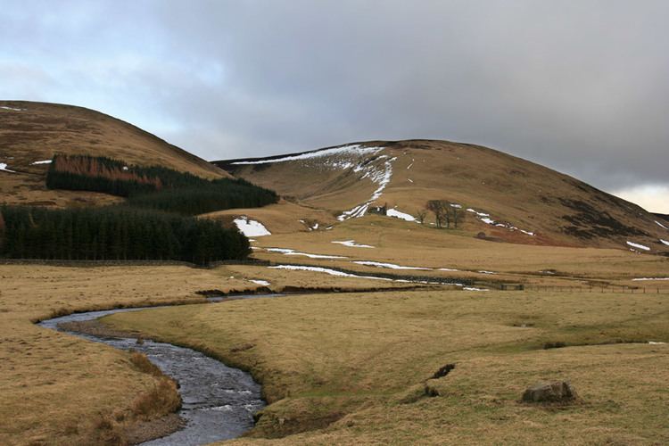
The Moorfoot Hills are a range of hills south of Edinburgh in east central Scotland, UK, one of the ranges which collectively form the Southern Uplands.
Map of Moorfoot Hills, Heriot, UK
The Hills run from Peebles, Scottish Borders, in a north easterly direction to Tynehead, Midlothian.
The highest of the Moorfoot Hills is Windlestraw Law, at 659 metres (2162 feet). Other hills include Blackhope Scar (651m), Dewar Hill, Garvald Law, Rough Moss (601m) and Peatrig Hill (454m).
Parts of the Moorfoot Hills are designated a Special Area of Conservation.
The Hills are also home to Bowbeat Wind Farm which is owned by E.on. The site consists of 24 Nordex N60 Turbines which lie between Bowbeat Hill, Blackhope Scar and Dundreich Hill. The Wind Farm was completed in September 2002 and at the time was Scotland's largest Wind Farm.