
Population 3,263 (2011 census) Local time Saturday 8:11 PM | Postcode(s) 4553 Postal code 4553 | |
 | ||
Weather 24°C, Wind N at 13 km/h, 90% Humidity | ||
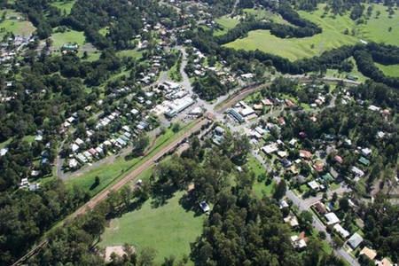
Mooloolah Valley is a small town on the Sunshine Coast hinterland, Queensland, Australia. At the 2011 Australian Census Mooloolah Valley recorded a population of 3,263.
Contents
Map of Mooloolah Valley QLD 4553, Australia
It is situated north of Landsborough on the main railway line from Brisbane with regular services southbound to Brisbane and northbound to Nambour and Gympie from Mooloolah railway station. The Mooloolah River forms part of the eastern boundary.
Mooloolah is referred to as Mooloolah Valley to distinguish it from the nearby Mooloolaba. Mooloolah is under the postcode 4553, and is in the Federal Electoral area of Fisher.
Heritage listings
Mooloolah has a number of heritage-listed sites, including:
References
Mooloolah Valley, Queensland Wikipedia(Text) CC BY-SA