
- location SE of Koster | - elevation 1,550 m (5,085 ft) - elevation 1,305 m (4,281 ft) | |
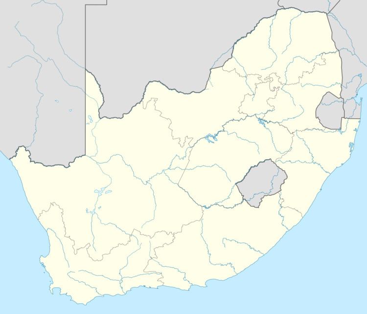 | ||
The Mooi River (Afrikaans: Mooirivier) is a river in North West Province, South Africa. It is a tributary of the Vaal River and belongs to the Upper Vaal Water Management Area.
Contents
Course
The Mooi rises near Koster and flows southwards. During its course it flows into the Klerkskraal Dam, Boskop Dam and the Potchefstroom Dam. After crossing the town of Potchefstroom it bends southwestwards, shortly bending westwards before it empties into the Vaal River near the border with the Free State, about 15 km east of Stilfontein.
Its main tributaries are the Wonderfontein Spruit (Mooi River Loop) and the Loop Spruit.
The waters of the Mooi River and its reservoirs are polluted with heavy metals in its mid and lower course because of the large gold and uranium mining operations in the basin.
History
In November 1838 Voortrekker leader Andries Hendrik Potgieter and his followers established the first permanent European settlement north of the Vaal by the banks of the Mooi River, founding the town of Potchefstroom. The city was named in Potgieter's honor and was the capital of the former South African Republic until May 1860, when the capital moved to Pretoria.
Dams in the basin
The main dams in the Mooi River and its tributaries are Donaldson Dam, Klipdrift Dam, Klerkskraal Dam, Boskop Dam and Potchefstroom Dam