
 | ||
Similar | ||
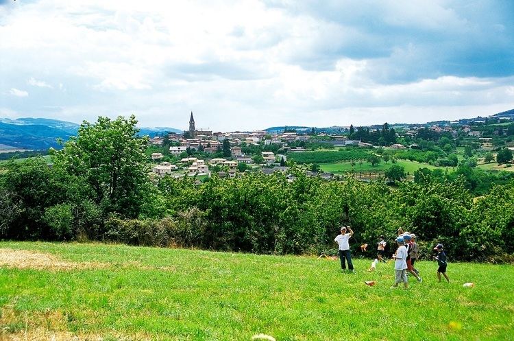
The Monts du Lyonnais are a range of low-altitude mountains and eastern foothills of the Massif Central located in the Loire and Rhône departments in France.
Contents
- Map of Monts du Lyonnais 69850 Saint Martin en Haut France
- S installer dans les monts du lyonnais
- Geography
- References
Map of Monts du Lyonnais, 69850 Saint-Martin-en-Haut, France
S installer dans les monts du lyonnais
Geography
The monts du Lyonnais' highest summit is the crêt Malherbe (934m).
The Janon river running east from Terrenoire (now part of Saint-Étienne) and then the Gier continuing east from Saint-Chamond to meet the Rhone at Givors create a valley in the coal basin that separates Mont Pilat from the Monts du Lyonnais.
References
Monts du Lyonnais Wikipedia(Text) CC BY-SA