
Age of rock 0.2 – 3.0 Mya | Last eruption > 0.2 Mya Country France | |
 | ||
Similar Chaîne des Puys, Mounts of Cantal, Puy de Sancy, Lac Pavin, Réserve naturelle nationale | ||
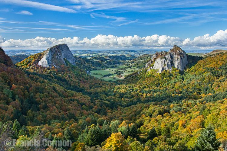
The Monts Dore are the remnant peaks of a volcanic massif situated near the center of the Massif Central, in the Auvergne region of France. They form a picturesque mountainous region, dotted with lakes, thermal springs and romanesque churches. The massif is an integral part of the Parc des Volcans d'Auvergne, and is known for its alpine ski areas and hiking trails.
Contents
Map of Monts Dore, 63790 Chambon-sur-Lac, France
Geology
The massif is much older than the nearby chaîne des Puys, dating to the end of the Tertiary era. It is a deeply eroded stratovolcano, similar to the Cantal massif to the south, but more reduced in area and volume. Its history began about 3 Mya with a Plinian eruption that created a large caldera, the contours of which are no longer clearly defined. This eruption resulted in the emission of ignimbrite rhyolitic pumice that covered over 100 km2 of land. Afterwards, phonolite domes were emplaced on the exterior of the caldera. A period of calm lasting between 1 and 1.5 Ma ensued, succeeded by a second major eruptive period that formed the modern Puy de Sancy, the highest peak in the Massif Central, followed by the establishment of smaller domes, dikes, and maars.
The region is dotted with lakes of volcanic origin. Some are maars that have been filled with water, while others are the result of streams whose courses have been blocked by volcanic activity.