
Province Province of Frosinone | Country Italy | |
 | ||
Similar Monti Ernici, Aniene, Monti Prenestini, Monte Velino, Santuario della Santissim | ||
Il paradiso nei monti simbruini
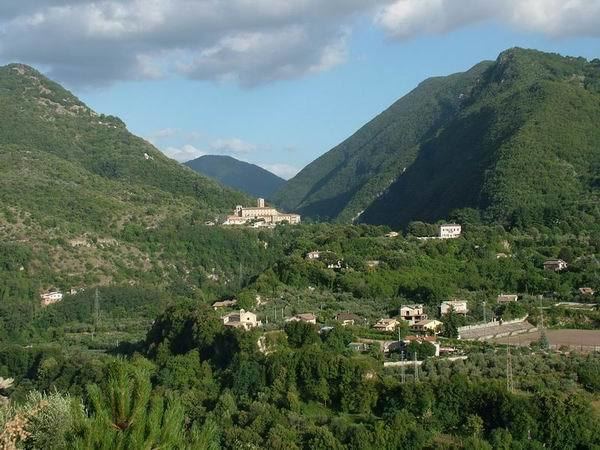
The Monti Simbruini are a mountain range in central Italy, a part of Apennines mountain system.
Contents
- Il paradiso nei monti simbruini
- Map of Monti Simbruini 03030 Pescosolido Province of Frosinone Italy
- GeographyEdit
- Regional Park of the Monti SimbruiniEdit
- HabitatsEdit
- FloraEdit
- FaunaEdit
- References
Map of Monti Simbruini, 03030 Pescosolido, Province of Frosinone, Italy
The 'Simbruini' name derives from the Latin sub imbribus ("under the rain"). They are also popularly known as "Rome's Alps".
GeographyEdit
The range runs along the border of the Lazio and Abruzzo regions. The range's highest peak is Monte Cotento, at 2,015 metres (6,611 ft) in elevation. The Monti Simbruini border with the Monti Cantari and the Ciociaria ranges.
The headwaters of the River Aniene are in the range.
Regional Park of the Monti SimbruiniEdit
The Regional Park of the Monti Simbruini, which also includes the Monti Cantari range, was established in 1983. It has an area of 300 square kilometres (120 sq mi).
The regional park and mountains include the comuni (villages) of: Camerata Nuova, Cervara di Roma (Campaegli), Filettino, Jenne, Subiaco (Monte Livata), Trevi nel Lazio, and Vallepietra.
HabitatsEdit
Habitats in the Monti Simbruini include: the Apennine deciduous montane forest ecoregion, in the Temperate broadleaf and mixed forests Biome; and the Italian sclerophyllous and semi-deciduous forests ecoregion, in the Mediterranean forests, woodlands, and scrub Biome.