
Total islands 2 uninhabited Area 12 ha | Adjacent bodies of water Solomon Sea Major islands Pana BobaPana Iatui | |
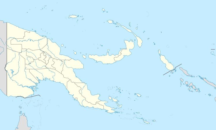 | ||
The Montemont Islands are an island group in the Coral Sea, belonging to Papua New Guinea. They lie to the east of Panarairai Island in the Louisiade Archipelago.
Contents
Map of Montemont Islands, Papua New Guinea
Administrative
Politically they belong to the province of Milne Bay in the southeastern part of Papua New Guinea. They are controlled by the chief of Utian Island, the nearest inhabited island.
Geography
The Montemont Islands consists of two small low-lying islands. They lie on the southwestern edge of the barrier reef of Vanatinai. They are located 3 kilometres (1.9 mi) south-east of the Jomard Islands and immediately west of the Duchateau Islands. Of the two islands, Pana Boba in the east, at 10 hectares (25 acres), is the larger.
References
Montemont Islands Wikipedia(Text) CC BY-SA