
Prominence 379 m (1,243 ft) First ascent unknown Elevation 379 m | Last eruption unknown Easiest route road and hiking | |
 | ||
Mountain type Stratovolcano (extinct) Similar Rocha Estância, Monte Estância, Monte Grande, Topo da Coroa, Monte Gordo - Cape Ver | ||
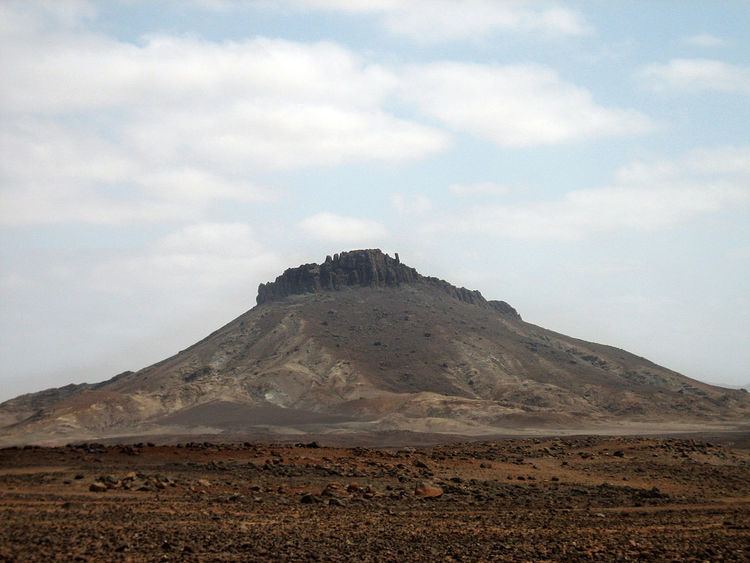
Monte or Pico de Santo António is a mountain in the southwestern part of the island Boa Vista in Cape Verde. At 379 m elevation, it is the island's second highest point. It is located just next to Rocha Estância and west of Monte Estância, one of three orographic formations on an island, a morphological fortress with a semicircular base elevation about the Alcanza plain with a 320 meter altitude difference. The upper part of the mountain are made up of rocky material notably basalt. The view of the mountain varies, its width is around east to west and short from north to south, the height of that portion is about 25 meters to the northeast and 50 meters to the southwest where the summit is. West of the foot is a small tiny settlement.
It is part of a protected natural space in Cape Verde under the statute of natural monument, a reason that describes geological and geomorphical features. It also protects notable endemic plants and flowers, though vegetation are scattered. The protected area covers 459 ha.
Up above, it has panoramic views of much of the island and parts of the island of Maio and São Nicolau.