Local time Friday 10:58 PM | ||
 | ||
Weather 16°C, Wind NE at 21 km/h, 78% Humidity Civil parish | ||
Monte Grande (Cape Verdean, ALUPEC: Monti Grande) is a settlement in the central part of the island of Fogo, Cape Verde. It is situated at about 900 m in elevation, 10 km east of the island capital São Filipe. Its 2010 population was 743. Nearby places include Monte Largo to the east, Salto to the southeast and Patim nearly to the west. Monte Grande is connected with a secondary road linking Lomba and Achada Furna along with Cova Figueira bypassing the capital and also is connected with another road with Patim and connects the circular road that has access to the capital.
Contents
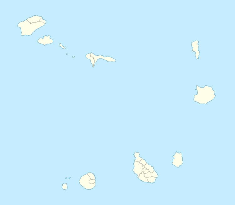
Map of Monte Grande, Cape Verde
About the town
The settlement is named after a nearby mountain that is large.
Agriculture is the main source of industry, tourism is not dominant as in other parts of Fogo. Much of the areas in Monte Grande along with the west of Fogo has been recently reforested to stop minimal erosion.
The settlement has a secondary school, a collegiate, a garden, a sanitary post and a sports complex. It also has a community association known as Associação Nova Estrela, it has 60 graduates in different areas, one delegate, three directors of the secondary school, a national deputy, three municipal deputies and two police officers.
Aluguer buses connect the village with the capital except for Sundays and holidays, it has no fixed schedule.
Climate
Its climate is cooler than the low-lying areas of the island but slightly warmer than the upper parts, also nearby Achada Furna and Monte Grande have nearly the same climate nearly being on the same elevation.
