
Country United States Time zone Eastern (EST) (UTC-5) Zip code 40502 Area code 859 | Area 28 ha Population 440 (2000) | |
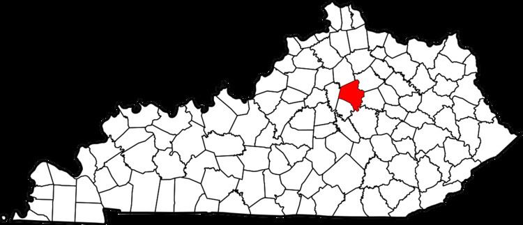 | ||
Montclair is a neighborhood in southeastern Lexington, Kentucky, United States. Its boundaries are Providence Road to the north, Montclair Drive to the south, Tates Creek Road to the east, and the University of Kentucky to the west.
Contents
Map of Montclair, Lexington, KY 40502, USA
Neighborhood statistics
References
Montclair, Lexington Wikipedia(Text) CC BY-SA