
Elevation 3,075 m Prominence 906 m | First ascent 2 October 1873 | |
 | ||
Similar Testa Grigia, Testa di Comagna, Mont Dzerbion, Punta Lazoney, Grand Tournalin | ||
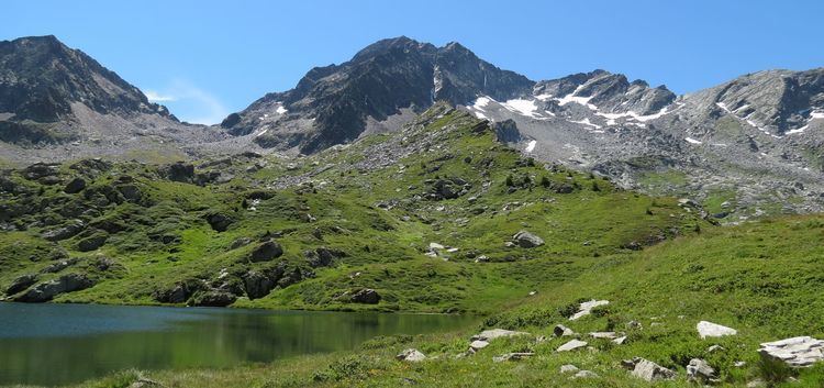
Mont Néry (French) or Becca Frudiera (Italian) (3,075m) is a mountain of the Pennine Alps in Aosta Valley, northwestern Italy, located between the Ayas Valley and the Gressoney Valley. It is the highest summit of the Frudiera Range, part of the larger Monte Rosa Massif. The mountain is formed from a mixture of gneiss and schist rocks. It was first climbed in 1873.
Map of Becca Frudiera, 11020 Issime, Aosta Valley, Italy
References
Mont Néry Wikipedia(Text) CC BY-SA