
Elevation 1,148 m | ||
 | ||
Similar Chemin des Révoires, Monte Grammondo, Mont Bégo, Monte Bignone, Grauspitz | ||
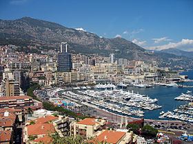
Mont Agel is a mountain located on the border between France and Monaco. The summit of this mount, at 1,148 metres (3,766 ft) above sea level, is situated on the French side, but the highest point of Monaco, lying on a pathway named Chemin des Révoires, is situated on its slopes, at an altitude of 161 metres (528 feet).
Contents
Map of Mont Agel
History
The top of Mont Agel is occupied by Nice Air Base, itself built on the former Ouvrage Mont Agel of the Alpine Line fortifications.
On 18 June 2011, a light aircraft crashed onto Mont Agel, killing two British people. The plane was on a private flight, and was en route from Italy to Troyes at the time of the crash. Conditions were foggy.
Mont Agel is the site of the Monte Carlo Golf Club, formerly home of the Monte Carlo Open. The club celebrated its 100th anniversary in 2011.
Roc Agel, purchased by Rainier III, Prince of Monaco as a summer family residence, is located high on the slopes of Mont Agel.