
Prominence 0 (slope point) Elevation 162 m | Listing Country high point | |
 | ||
Similar Mont Agel, Monte Grammondo, Kneiff, Grauspitz, Mont Bégo | ||
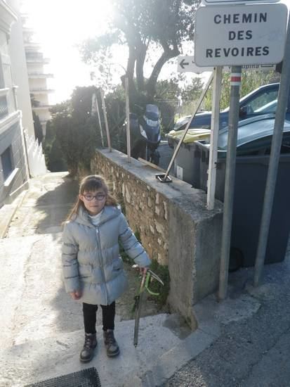
The Chemin des Révoires is a pathway within Les Révoires district of the Principality of Monaco.
Contents
Map of Chemin des R%C3%A9voires, 06320 Monaco-Ville, Monaco
Features
The highest point in Monaco, at 162 metres (528 feet) above sea level, is situated on this pathway, on the slopes of Mont Agel, a mountain whose summit is situated on the French side. A proportion of the Principality's territory is very steep, being geographically part of the Alps which extend to the Mediterranean Sea.
References
Chemin des Révoires Wikipedia(Text) CC BY-SA