
- elevation 173 m (568 ft) Area 992.4 km² Subdivisions 3 | Founded 1 January 1992 | |
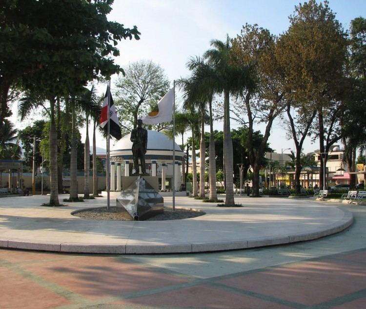 | ||
Points of interest Paraiso Solimar, Museo Cándido Bido, Fula, Monumento Natural Saltos De, Monumento Natural Salto de J | ||
Monseñor Nouel ([monseˈɲor nuˈwel]) is a province of the Dominican Republic. It was split from La Vega in 1982.
Contents
- Map of MonseC3B1or Nouel Province 42000 Dominican Republic
- Municipalities and municipal districts
- References
Map of Monse%C3%B1or Nouel Province, 42000, Dominican Republic
It is named for Monseñor Dr. Adolfo Alejandro Nouel y Bobadilla (1862-1937), Archbishop of Santo Domingo and briefly President of the Republic in 1912-3.
Municipalities and municipal districts
The province as of June 20, 2006 is divided into the following municipalities (municipios) and municipal districts (distrito municipal - D.M.) within them:
The following is a sortable table of the municipalities and municipal districts with population figures as of the 2012 census. Urban population are those living in the seats (cabeceras literally heads) of municipalities or of municipal districts. Rural population are those living in the districts (Secciones literally sections) and neighborhoods (Parajes literally places) outside of them.
For comparison with the municipalities and municipal districts of other provinces see the list of municipalities and municipal districts of the Dominican Republic.