
- elevation 100 m (328 ft) Area 2,287 km² | Founded 1844 Subdivisions 4 | |
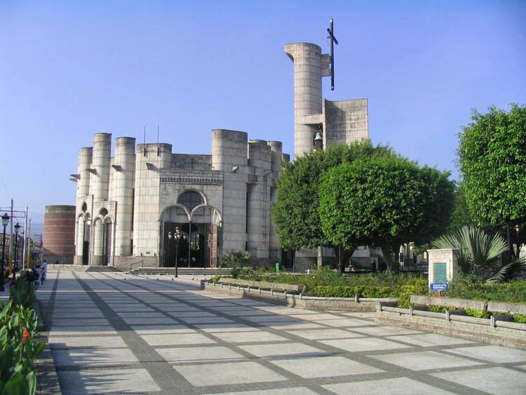 | ||
Colleges and Universities Universidad Católica Tecnológica del Cibao, Universidad Agroforestal Fernando Arturo de Meriño Points of interest Immaculate Conception Cathedral, Salto de Aguas Blancas, Salto de Baiguate, Las Pirámides de Valle, Anacaona Park Destinations | ||
.
Map of La Vega Province, Dominican Republic
La Vega (Spanish pronunciation: [la ˈβeɣa]) is a province of the Dominican Republic. Until 1992 it included what is now Monseñor Nouel province.
Contents
Municipalities and municipal districts
The province as of June 20, 2006 is divided into the following municipalities (municipios) and municipal districts (distrito municipal – D.M.) within them:
For comparison with the municipalities and municipal districts of other provinces see the list of municipalities and municipal districts of the Dominican Republic.
The following is a sortable table of the municipalities and municipal districts with population figures as of the 2012 census. Urban population are those living in the seats (cabeceras literally heads) of municipalities or of municipal districts. Rural population are those living in the districts (Secciones literally sections) and neighborhoods (Parajes literally places) outside of them.