
Time zone WAT (UTC+1) | Local time Thursday 9:43 AM | |
 | ||
Weather 28°C, Wind NE at 21 km/h, 14% Humidity | ||
Monguno is a Local Government Area of Borno State, Nigeria. Its headquarters are in the town of Monguno.
Contents
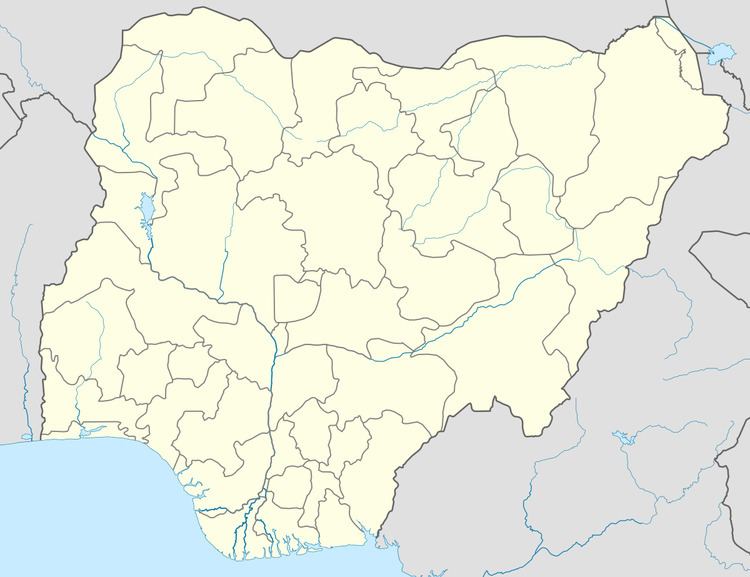
Map of Monguno, Nigeria
It has an area of 1,913 km² and a population of 109,851 at the 2006 census.
The postal code of the area is 612.
It is one of the sixteen LGAs that constitute the Borno Emirate, a traditional state located in Borno State, Nigeria.
In early January 2015, residents fled Monguno and the village of Doron-Baga for the internally displaced persons camps in Maiduguri, following the capture of nearby Bama by Boko Haram. Monguno was captured by Boko Haram forces on January 26, 2015. Amnesty International expressed concern that local residents' requests for more troops for protection from Boko Haram had been ignored by the Nigerian Army. On February 17, 2015, the Nigerian military retook Monguno in a coordinated air and ground assault.