
Max. length 45 km (28 mi) Surface area 400 km (150 sq mi) Area 400 km² | Basin countries Canada Max. width 22 km (14 mi) Surface elevation 221 m Width 22 km | |
 | ||
Primary inflows | ||
Molson Lake is a lake in Northern Region, Manitoba, Canada and the source of the Hayes River. It is located about 60 kilometres (37 mi) northeast of the community of Norway House.
Contents
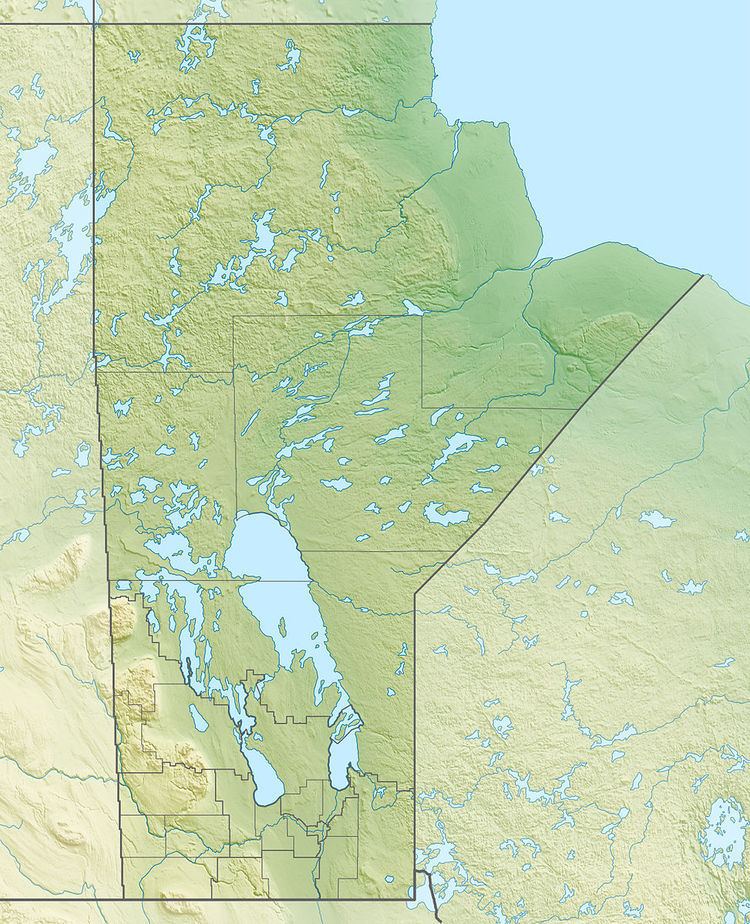
Map of Molson Lake, Division No. 22, Unorganized, MB, Canada
The lake is 45 kilometres (28 mi) long and 22 kilometres (14 mi) wide, has an area of 400 square kilometres (154 sq mi), and lies at an elevation of 221 metres (725 ft). The primary inflows are the Molson River and Keepeewiskawakun River at the south, and the primary outflow is the Hayes River at the north of the lake, which heads towards Robinson Lake.
Molson Lake Airport is on the north shore of the lake at the west end.
Tributaries
Counterclockwise from the Hayes River outlet
References
Molson Lake (Manitoba) Wikipedia(Text) CC BY-SA